Pirates of the Caribbean
Loading the 3D model…
About 170 KB compressed. The panel works without it.How the magic is done
Every trick in the order you meet it on the ride. Each one has a working model you can take apart yourself, and every explanation is labeled by how sure we are.
The real thing
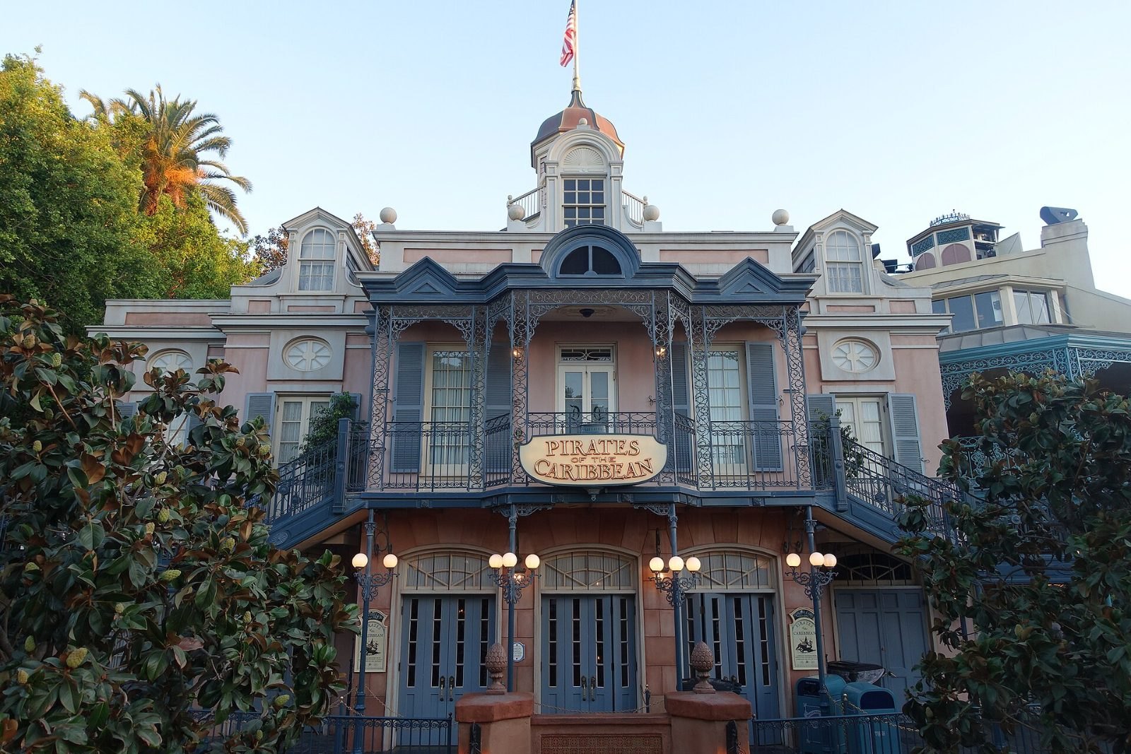
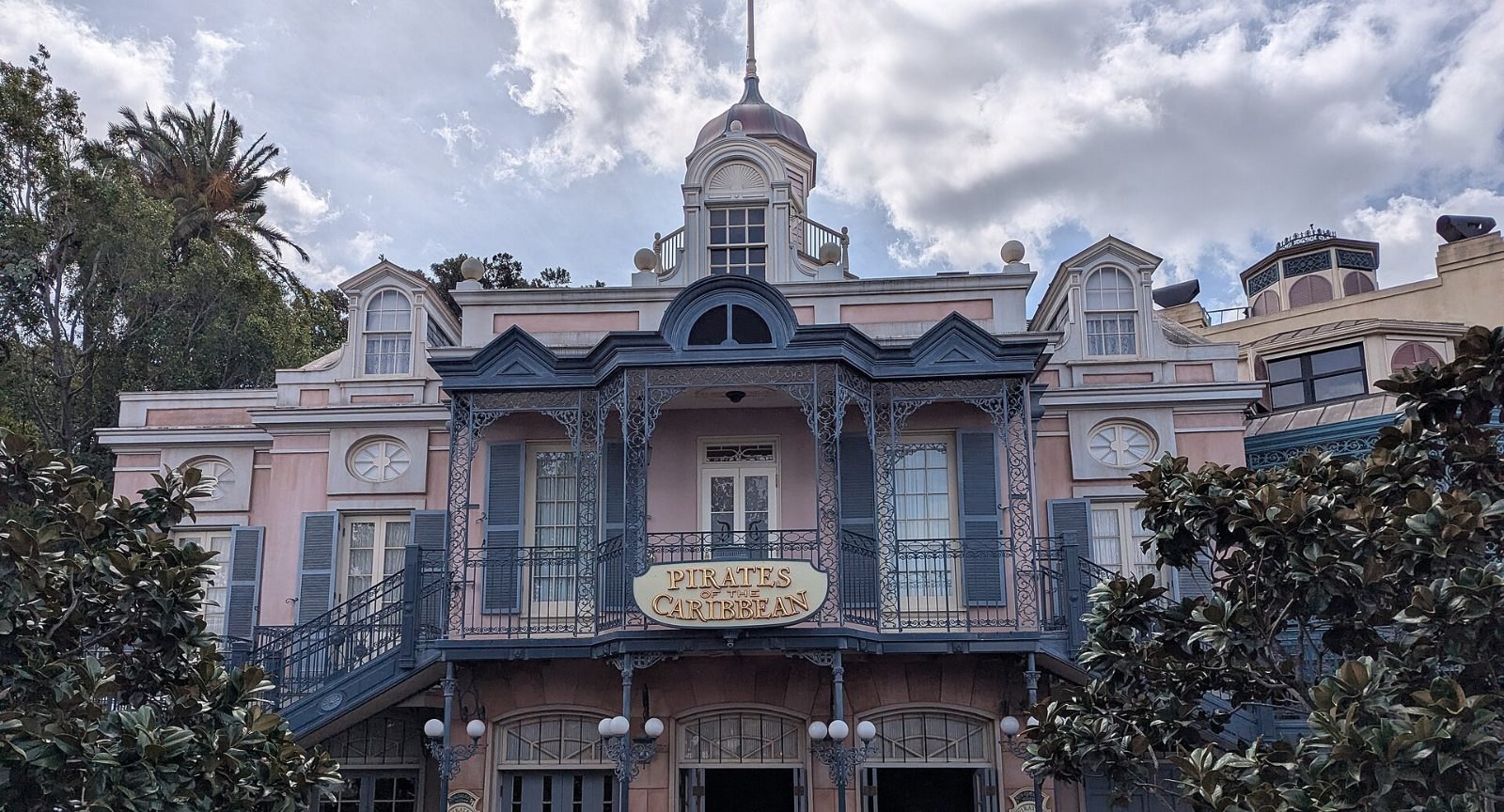
Shared by their photographers under public-domain or Creative Commons licences on Wikimedia Commons, and used as reference for the 3D model.


Watch a ride-through
Fans have filmed the whole ride. We link to them instead of copying them, because the show inside belongs to Disney.
How accurate is this?
Every piece of the model is marked by where it came from, so you always know what's surveyed and what's our best interpretation.
Surveyed
- The building outline, split by the railroad into the park side and the show building
- The roof height of the show building, from the USGS 2011 LiDAR scan
- The boat route, from OpenStreetMap
- The railroad, river and every tree around it
Estimated
- Water levels: the bayou at grade, two drops and a lift hill (their exact heights are not published here)
- The height of the park-side building
- Scene zone sizes
Fan-surveyed & interpreted
- Which stretch of the route each scene occupies, using the order Wikipedia describes
- Room lighting colors, which are ours and only show what each zone is for
Sources: Wikipedia: Pirates of the Caribbean (attraction) · Wikipedia: New Orleans Square · Wikipedia: Yo Ho (A Pirate's Life for Me) · Wikipedia: Claude Coats · Wikipedia: Marc Davis · Wikipedia: Blaine Gibson · Wikipedia: The Haunted Mansion · Wikipedia: Club 33 · Disney Park Nerds: Hidden Mickeys at Disneyland · OpenStreetMap (building outline, boat route, railroad) · USGS 3DEP LiDAR, CA_OrangeCo_2011